 .
. 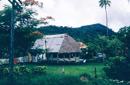
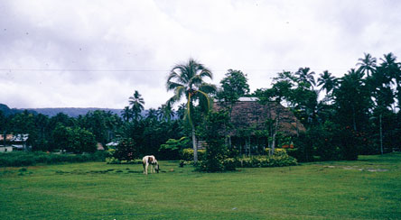
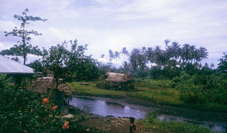
Fales in Apia
How have small Pacific Islands faced the challenges of development and environment in the crucial decade of the 1970s? Improved air travel made them more accessible, economic development was an international priority, decolonization was accelerating, regional cooperation was strengthening, and the environment became a significant issue internationally. The islands of Samoa are an interesting case study because one archipelago with the same Samoan culture was divided between Western Samoa (now Samoa), where the 19th century struggle between colonization by England and Germany ended with Germany taking control in 1900 until World War I, then New Zealand until independence in 1962. Copra plantations were established as the main economic activity.
Meanwhile Eastern Samoa, to avoid being caught up in the conflict between the two colonial powers, negotiated an agreement of protection with the United States in 1904, becoming an American Protectorate while retaining local sovereignty over land. With its excellent harbor at Pago Pago, the US Navy governed American Samoa primarily as a coaling station for Navy ships. Only when the Kennedy administration realized that the U.S. had a neglected colony in the South Pacific did a civilian administration take over, and efforts were made to "do the right thing" by bringing the American way of life to Samoa. An international airport was constructed over the reef, as a main stop-over for flights from Hawaii to Australia and New Zealand. Since education would be key, and there was no time to train up a whole new generation of Samoan teachers, the US government installed 12 channels of color television, with a cable car across Pago Pago harbor to one of the highest peaks to service the television transmitters. However there was no money left for local public programming, so tapes of a full evening of broadcasting were made in Sacramento, California, flown out to Pago Pago, and broadcast a week later, news, ads and all, with all the cultural impact this implies. Tuna canneries were established to provide a local industry.
I was a young coral reef ecologist at the Smithsonian Institution in Washington, D.C. in 1969, when John Haydon, newly appointed as Governor of American Samoa, came and asked for help to identify the environmental problems of the territory. I was interested in researching the dynamics of coral reef ecosystems, and offered to go to Samoa and prepare a report for the Governor, in return for the possibility to survey the coral reefs and establish long-term monitoring of the state of the reefs.
There was also an International Youth Conference of Bahá'ís in the Pacific planned for Apia, Western Samoa, in December 1969. So I first attended the youth conference and had an opportunity to visit Upolu and Savai'i, before going to Pago Pago to review the environmental problems of American Samoa for the government, and to establish my coral reef surveys. I returned to American Samoa in mid-1970, and again in May 1971 to look for possible sites for a Smithsonian Institution research programme of comparative investigations of tropical reef ecosystems, which included Tutuila and the Manu'a Islands. I therefore had a quite comprehensive view of the Samoan archipelago, and through the local Bahá'í community, an opportunity to get to know the Samoan people and their culture. My reports to the government and some papers from my reef work are available in my bibliography.
In 1974, I joined the South Pacific Commission as its Regional Ecological Adviser until 1982, launching the Secretariat of the Pacific Regional Environment Programme (SPREP) now headquartered in Apia, so I returned often to both Samoa and American Samoa as adviser to their governments on issues of environment, conservation and sustainability. My brother Keith moved to Pago Pago in 1975 and remained there for 37 years, so I had another close tie with Samoa.
This album presents a pictorial record of the islands of Samoa and some of the changes I observed during the period 1969-1984, starting with 1969-1971. Further chapters will be added as I have time to sort and scan the slides.
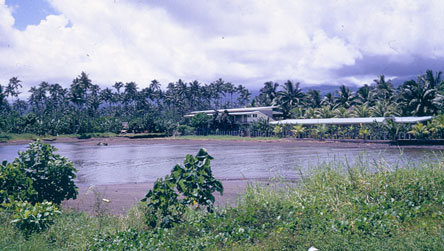
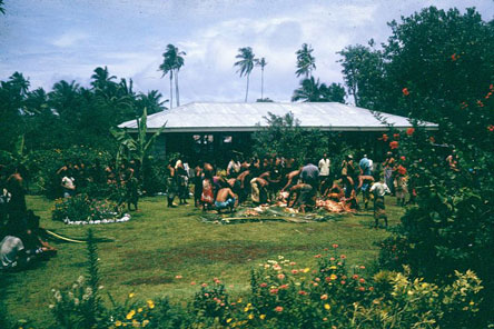
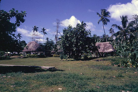
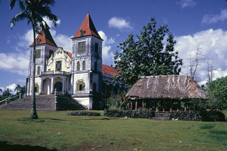
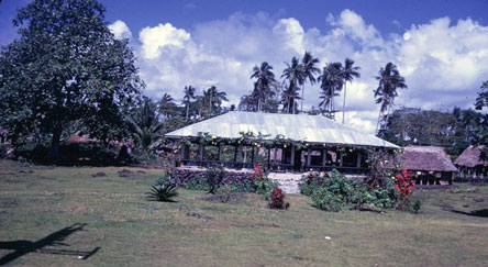
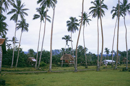
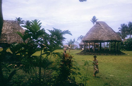
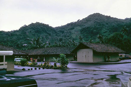
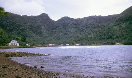
At the beginning of the decade, Western Samoa had not done much to move materially beyond the colonial era. Many of the major buildings in Apia dated from German colonial times. Traditional fales (thatched oval houses) were still common, even around Apia.
.
Fales in Apia
 .
. 
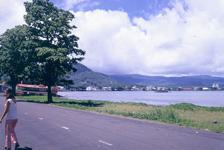
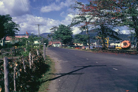
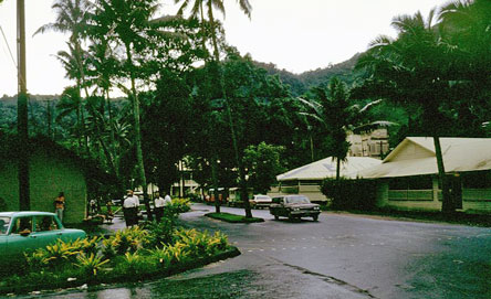
Main coastal road in Apia
 .
. 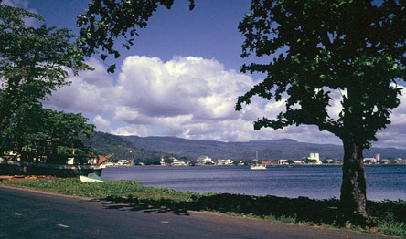
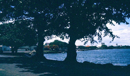
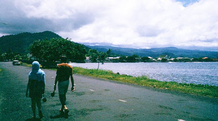
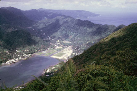
Apia from its coastal road
 .
. 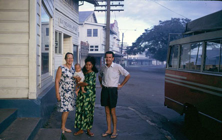
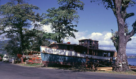
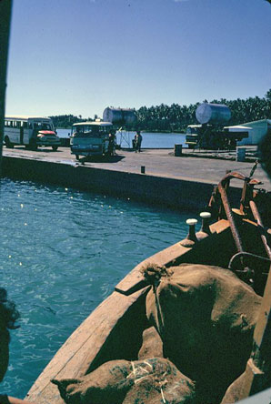
Boat repair on the Apia shoreline; my hosts Greta and Aubrey Lake and local Baha'i in downtown Apia
 .
. 
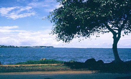
Apia
 .
. 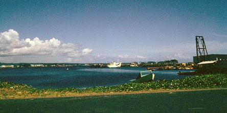
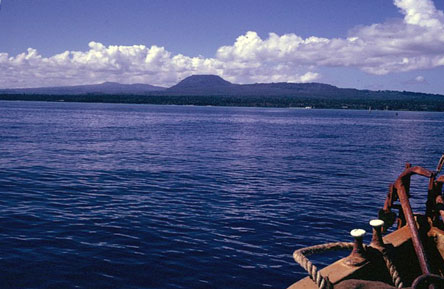
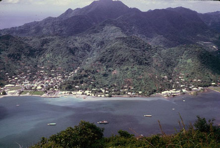
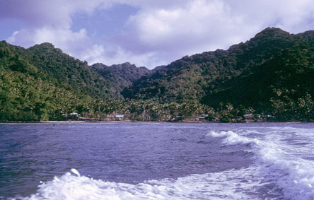
Apia harbour

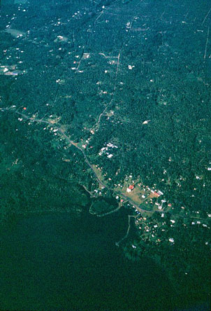
Aerial view of Apia and its harbour
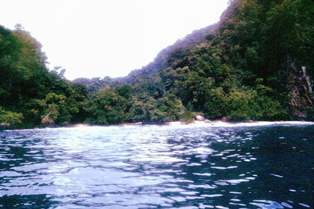
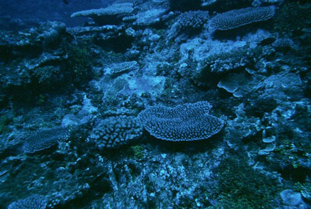
Palolo Deep is an unusual area of deep lagoon protected by an outer reef off the point beyond the harbour in Apia. Corals were diverse and abundant, and it was both a safe place to swim and accessible. On later visits I prepared a proposal to the Samoan government to make Palolo Deep into a marine reserve, both to preserve it and to make it into a tourist attraction. This was eventually done. I even laid out an underwater nature trail as a demonstration project.
 .
. 
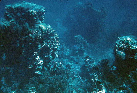
Corals in Palolo Deep off Apia
 .
. 
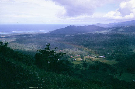
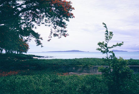
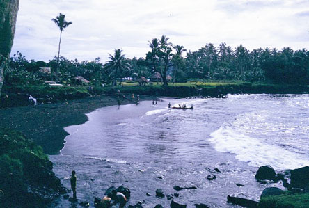
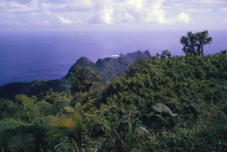
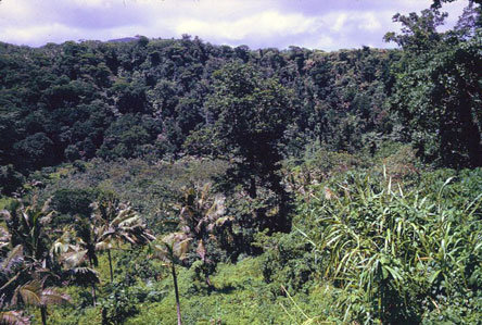
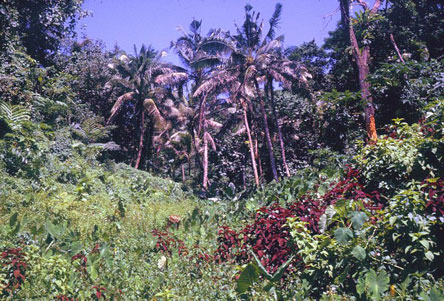
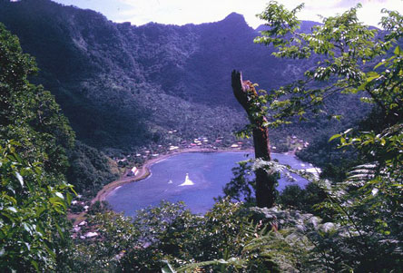
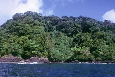
Beyond Apia, the island of Upolu had a mountainous and largely forested interior, and coastal villages with coconut plantations in the flatter areas, and fringing coral reefs. Every village had at least one large church, since Samoa was one of the first countries in the region to be converted to Christianity. The author Robert Louis Stevenson spent his last years in Samoa, and his grave on Mount Vaia behind Apia is still visited. His residence at Vailima became the official residence of the Head of State. I felt a special tie to Stevenson, since he had lived on the Monterey Peninsula in California where I lived, and where I attended the Robert Louis Stevenson School. The then Head of State, Maleatoa Tanumafili II, was also the first reigning head of state to become a Bahá'í, and the first Bahá'í House of Worship for the Pacific Islands was dedicated in Apia in 1984.
 .
. 
View of Upolu from Mount Vaia; grave of Robert Louis Stevenson on Mount Vaia
 .
. 
Upolu villages
 .
. 
Upolu villages
 .
. 
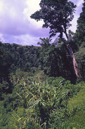
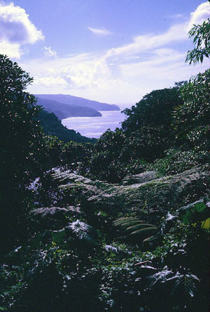
Upolu with largely forested interior
 .
. 
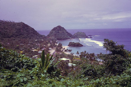
Fringing reef on Upolu; Manono and Apolima islands from Upolu
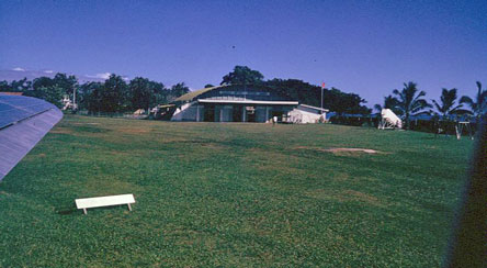
The main international airport on Upolu still had a grass runway in 1970, and Polynesian Airlines consisted of two DC3 aircraft, one of which crashed on takeoff not long after our youth conference.
 .
. 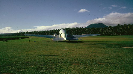
International airport
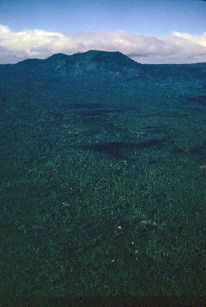
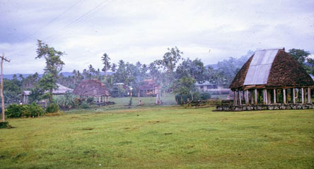
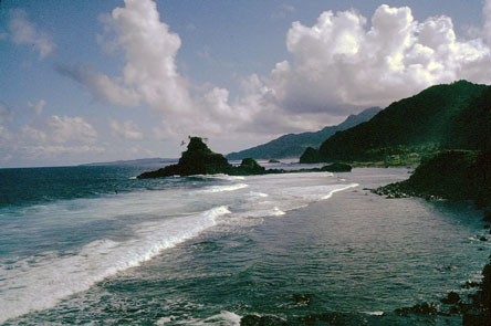
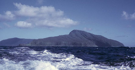
The island of Sava'i is both larger and volcanically more recent than Upolu, with steep volcanic cliffs and black sand beaches on some shorelines. It is also much less developed than Upolu, with the traditional Samoan culture largely intact in the 1970s.
 .
. 
Savai'i, village of Puleia
 .
. 
Village of Puleia, Savai'i
 .
. 
Savai'i villages
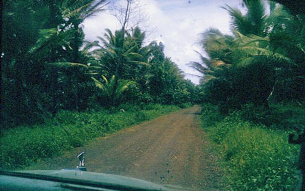
Typical road on Savai'i
 .
. 
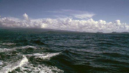
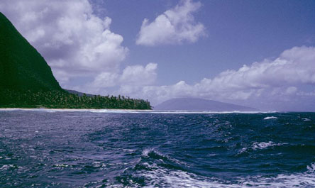
Savai'i seen from the boat returning to Upolu
 .
. 
Upolu; landing at Upolu
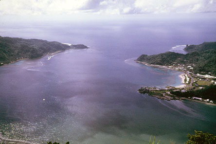
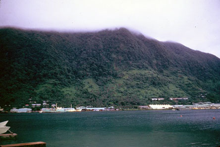
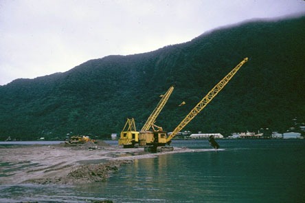
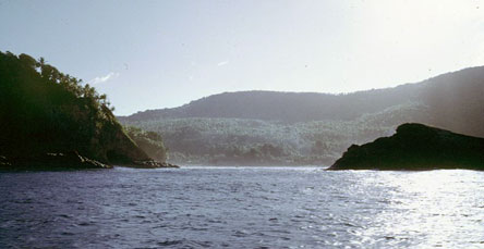
American Samoa had already experienced the impact of American culture for eight years by 1970, with even a film being made in 1966 warning of the erosion of Samoan culture and values. Dredging for coastal road construction, the airport and port improvements damaged many coral reefs. There was oil pollution from the port facilities and organic pollution from fish wastes from the canneries in Pago Pago harbour. Other improvements were a new dock and warehouse, a high school, a new market, and the Rainmaker Hotel on a point in Pago Pago harbour. A coastal road linked the villages on the south shore of mountainous Tutuila Island, but the few villages on the north shore were largely isolated. With a top speed of 25 mph on the one coastal road, and the only traffic light on the one-way driveway to the Governor's Residence, traffic was not yet a major problem.
 .
. 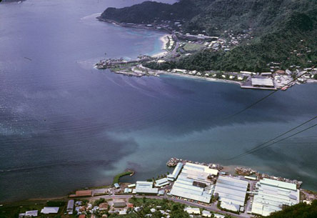
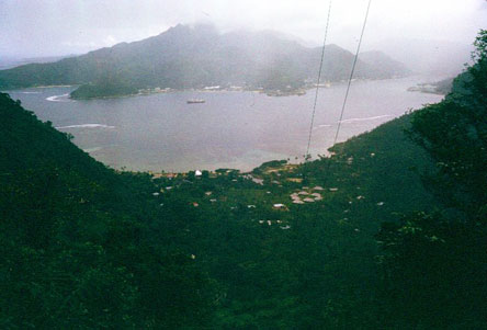
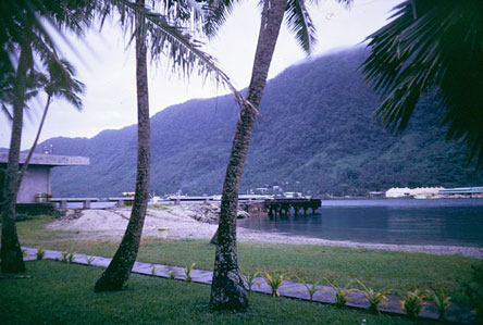
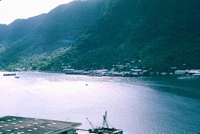
Mouth of Pago Pago harbour; Pago Pago and canneries
 .
. 
Pago Pago mid-harbour; inner harbour and north shore
 .
. 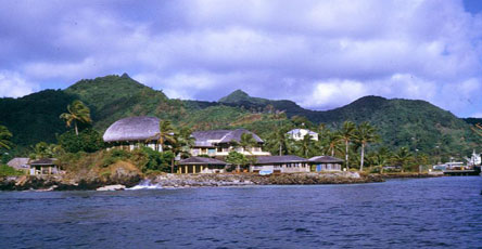
Pago Pago harbour from cable car; Rainmaker Hotel
 .
. 
Pago Pago downtown; new market
 .
. 
Pago Pago main wharf; house near the wharf where I stayed
 .
. 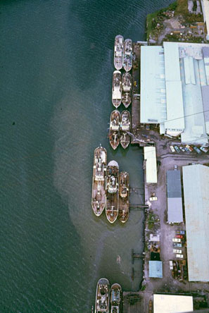
Canneries from the port; pollution from the canneries
 .
. 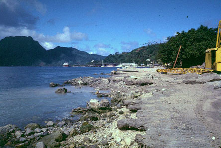
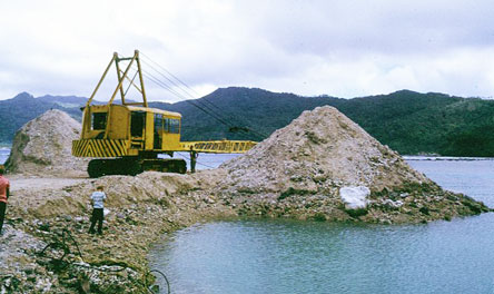
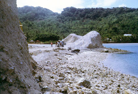
Dredging for construction was common, destroying nearshore reefs
 .
. 
Tutuila
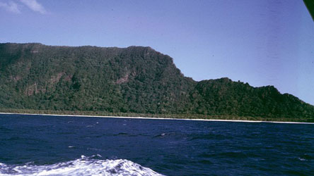
Apart from a flat area near the airport, Tutuila has a rugged coastline with a narrow fringing reef and villages in sheltered valleys.
 .
. 
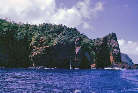
South shore of Tutuila
 .
. 
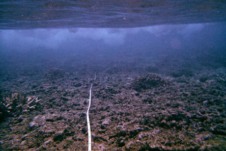
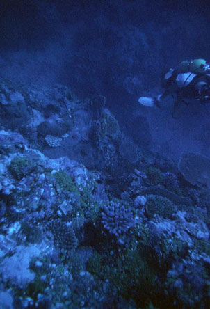
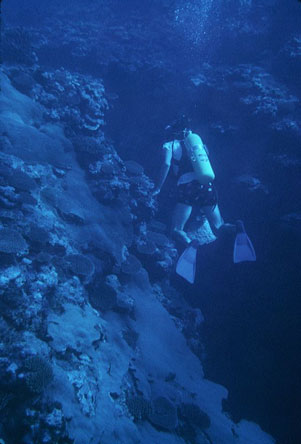
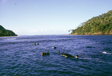
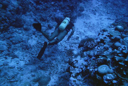
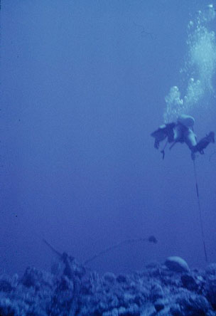
Badi Ala'i helping with reef surveys; Director of Marine Resources Stan Swerdloff
 .
. 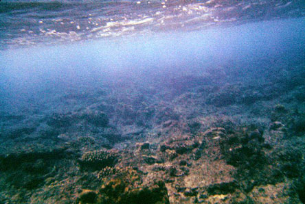
Near shore reef flats on Tutuila
 .
.  .
. 
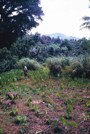
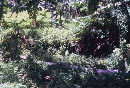
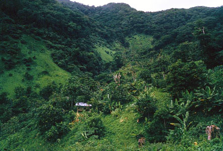
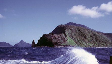
Tutuila has a rugged interior with agriculture where possible.
 .
. 
Oluvalu Crater with a narrow entrance provided shelter during tribal warfare
 .
. 
Two defensive walls guarded the entrance to Olovalu Crater
 .
. 
With little flat land, agriculture extended up steep slopes; Tutuila north shore
Tutuila north shore
 .
. 
The north shore of Tutuila has a few isolated villages like Fagasa and Afono, accessible by boat or by hiking over the ridge
 .
. 
Tutuila north shore
 .
. 
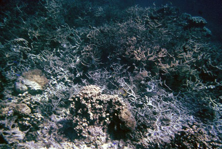
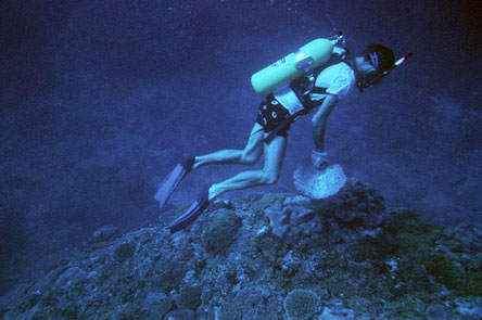
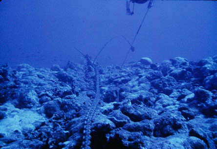
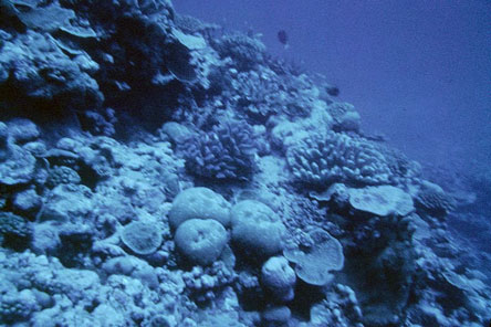
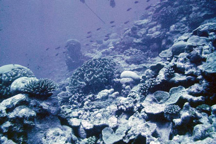
North shore coral reef were better developed than on the south shore
 .
. 
North shore coral reef
 .
. 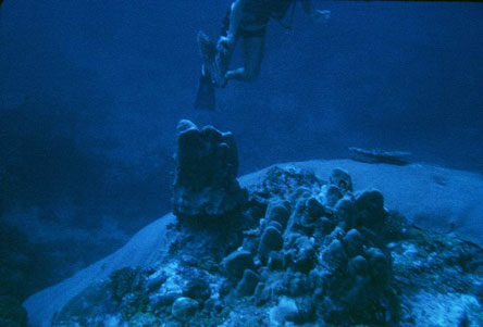
North shore coral reef
 .
. 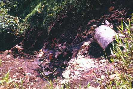
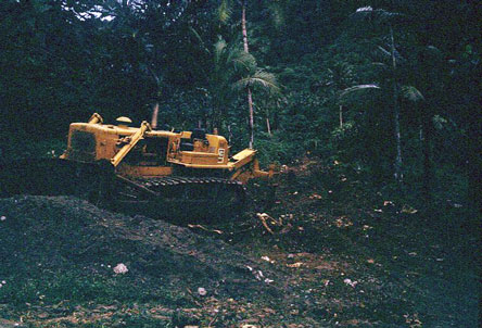
Construction generates erosion and coastal pollution; abandoned road above Fagasa
 .
. 
Coastal dredging for road construction
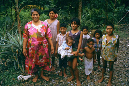
Samoans tended to have large families.
 .
. 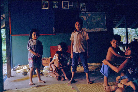
Family in Afono
 .
. 
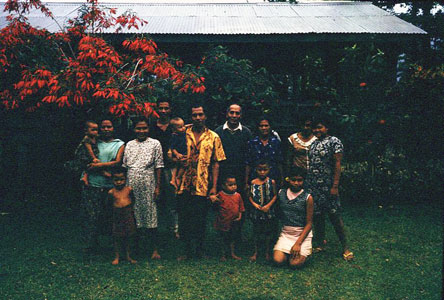
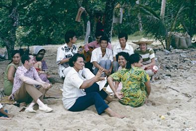
Baha'is of Fasito'outa; picnic at Ala'is
 .
. 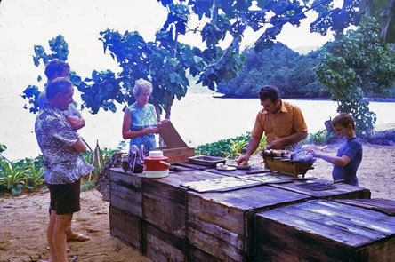
picnic at Ala'is
Suhayl and Lilian Ala'i were always my principal local contacts. Lilian was the first Bahá'í to go to Samoa in 1954, and Suhayl married her and moved there later that year. Their son Badi helped me with my reef surveys. Suhayl told me about the South Pacific Commission and encouraged me to apply to work there. My brother Keith moved to American Samoa to help Suhayl and Lilian in their business in 1975 and stayed until the end of his life in 2012.
Tiny Aunu'u island off the eastern tip of Tutuila has one small village. A longboat is used to reach the shore.
 .
. 
Aunu'u and village
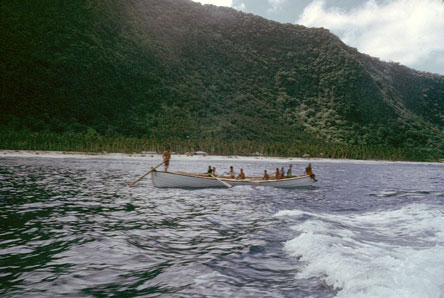
Long boat for access to Aunu'u
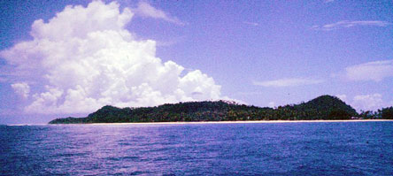
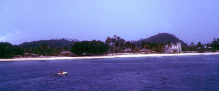
The three Manu'a Islands of Ofu, Olosega and Ta'u are as far east of Tutuila as Western Samoa is to the west, and quite isolated.
 .
. 
Manu'a Islands
 .
. 
 .
. 
Manu'a Islands
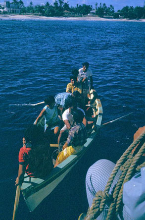
Access to villages is by long boat
 .
. 
Manu'a Islands, fuel thrown overboard and floated ashore
 .
. 
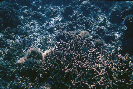
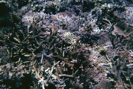
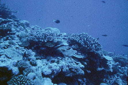
Coral reefs are well developed in the Manu'a Islands
 .
. 
 .
. 
Manu'a Islands coral reefs
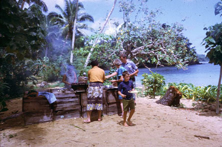
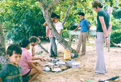
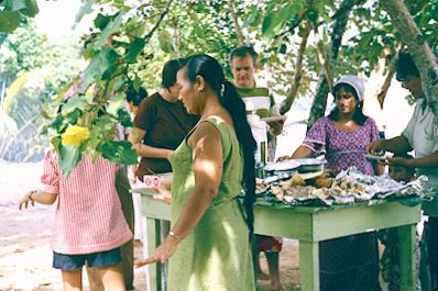
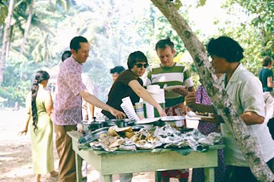
In 1975, my wife Martine and I spent more than a month in American Samoa, 19 June-21 July and Western Samoa, 11-14 July. My project in American Samoa was to design exhibits and train staff for a new Museum of American Samoa (including coral reef reconstruction) for Mrs. Hayden, the Governor's wife, and continued reef monitoring surveys. Among the Baha'is we met were Lilian and Suhayl Ala'i, Feti Maiava, Bill and Jane Hyman, John and Margaret Handley, and John Ott. We had a fireside at Lena Kava's on 22 June, at the Hyman's 25 June, a deepening for the Eastern District at Phil Beatty's 27 June, a fireside in Pago Pago on 29 June, and a deepening at the Ott's 30 June. My brother Keith arrived in Pago Pago on 2 July to explore the possibility of pioneering to Samoa and helping the Ala'is with their business. We had a fireside in Pago Pago on 2 July, dinner and deepening at the Ala'i's 4 July, a beach picnic and dinner at Ala'i's on 6 July, deepening at Ott's on 7 July, a programme at the Beatty's 8 July, dawn prayers at the Ala'i's and a fireside in Pago Pago 9 July, dinner and deepening at the Beatty's 10 July.
 .
. 
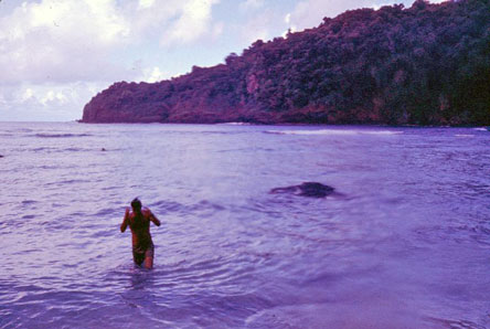
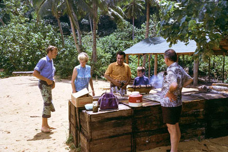
Keith and me; Keith at beach picnic
 .
. 
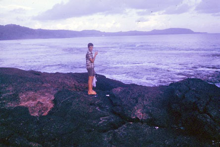
me at beach picnic
 .
. 
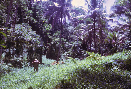
Keith at beach picnic; forest visit
 .
. 
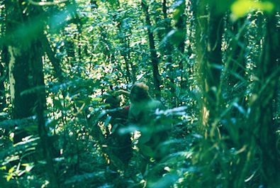
Pago Pago harbor; forest visit
We visited the forest with the Environment and Conservation team on 8 July, before a short trip to Western Samoa 11-14 July, with the Ala'is and Keith joining us over the weekend. There was a deepening at the Ott's on 14 July, a half hour television interview and Samoa News interview on 15 July, dawn prayers at the Beatty's and a fireside Pago Pago 16 July, dinner and deepening at the Beatty's 18 July, dinner at the Ala'i's with Keith, and a fireside at the Ott's 19 July, and finally a fireside in Pago Pago and Keith to the airport on 20 July.
 .
. 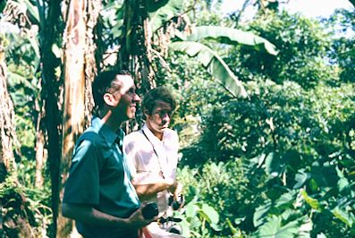
Forest visit, Tutuila, American Samoa
Return to Pacific Islands 1970s page - Return to personal home page
Last updated 6 May 2026
Photographs copyright © Arthur Lyon Dahl 1969-2021